


Manhattan Township Precinct 4, Riley County, Kansas
About
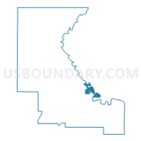
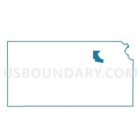
Outline

Summary
| Unique Area Identifier | 586491 |
| Name | Manhattan Township Precinct 4 |
| County | Riley County |
| State | Kansas |
| Area (square miles) | 5.69 |
| Land Area (square miles) | 5.38 |
| Water Area (square miles) | 0.31 |
| % of Land Area | 94.48 |
| % of Water Area | 5.52 |
| Latitude of the Internal Point | 39.22674460 |
| Longtitude of the Internal Point | -96.56788500 |
Maps

Graphs
Select a template below for downloading or customizing gragh for Manhattan Township Precinct 4, Riley County, Kansas


Neighbors
Neighoring Voting District (by Name) Neighboring Voting District on the Map
- Blue Township Voting District, Pottawatomie County, KS
- Grant Township Voting District, Riley County, KS
- Manhattan City Ward 2 Precinct 3, Riley County, KS
- Manhattan City Ward 2 Precinct 4, Riley County, KS
- Manhattan City Ward 3 Precinct 3, Riley County, KS
- Manhattan City Ward 5 Precinct 11, Riley County, KS
- Manhattan City Ward 8 Precinct 1, Riley County, KS
- Manhattan City Ward 8 Precinct 2, Riley County, KS
- Manhattan City Ward 8 Precinct 3, Riley County, KS
- Manhattan Township Precinct 1, Riley County, KS
- Manhattan Ward 2 Precinct 5, Pottawatomie County, KS
Top 10 Neighboring County Subdivision (by Population) Neighboring County Subdivision on the Map
- Manhattan city, Riley County, KS (52,135)
- Blue township, Pottawatomie County, KS (3,046)
- Manhattan township, Riley County, KS (2,444)
- Manhattan city, Pottawatomie County, KS (146)
Top 10 Neighboring Place (by Population) Neighboring Place on the Map
Top 10 Neighboring Unified School District (by Population) Neighboring Unified School District on the Map
Top 10 Neighboring State Legislative District Lower Chamber (by Population) Neighboring State Legislative District Lower Chamber on the Map
- State House District 66, KS (34,584)
- State House District 67, KS (24,852)
- State House District 61, KS (24,567)
Top 10 Neighboring State Legislative District Upper Chamber (by Population) Neighboring State Legislative District Upper Chamber on the Map
- State Senate District 22, KS (95,140)
- State Senate District 1, KS (69,919)
- State Senate District 21, KS (61,803)
Top 10 Neighboring 111th Congressional District (by Population) Neighboring 111th Congressional District on the Map
Top 10 Neighboring Census Tract (by Population) Neighboring Census Tract on the Map
- Census Tract 2, Riley County, KS (9,017)
- Census Tract 11, Riley County, KS (8,616)
- Census Tract 1, Pottawatomie County, KS (7,359)
- Census Tract 13.02, Riley County, KS (5,331)